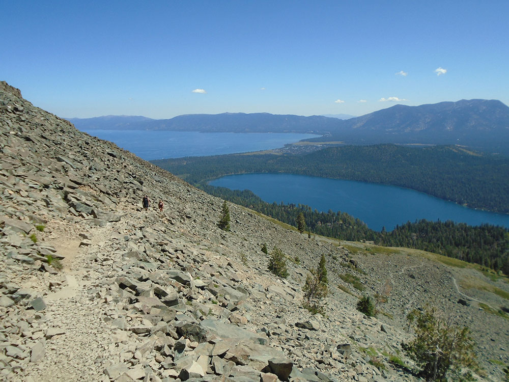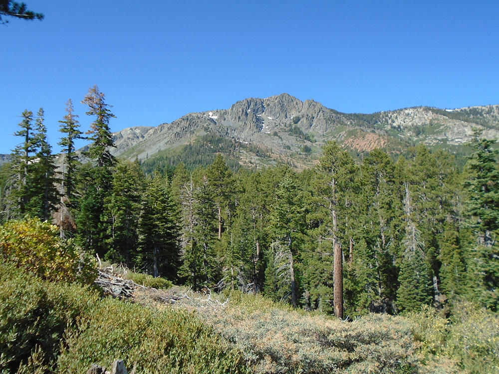

Mountain peak southwest of Lake Tahoe where an estimated 10,000 climb the peak each year via routes approaching the summit
General Information
Length:
10 miles round trip
Elevation Gain:
Approximately 3,500 ft
Difficulty:
Strenuous
Hours:
Open year-round, weather and snow conditions permitting.
Fees:
No fee for day hiking.
Day-use wilderness permit required at the trailhead.
Overnight wilderness permits and fees required for camping in Desolation Wilderness.
Day-use wilderness permit required at the trailhead.
Overnight wilderness permits and fees required for camping in Desolation Wilderness.
Pet Policy:
Dogs are allowed.
Closest cities with hotels:
South Lake Tahoe, CA (about 4 mi)
Seasons:
Best visited from June through September when the trail is generally snow-free. Spring and fall conditions can vary depending on snowpack and weather.
Location:
Website:
How to Get There
From South Lake Tahoe, CA (4 mi): Take CA-89 northwest toward Emerald Bay, turn into the signed Mt. Tallac Trailhead access road across from Baldwin Beach, and continue to the trailhead parking area.
Overview
Mount Tallac (“big mountain” in Washoe) is a 9,735-foot peak above the south shore of Lake Tahoe, in the Desolation Wilderness, famous for the “cross of snow” on its face in winter and spring. About 10,000 people a year climb it, and the hike from Fallen Leaf Lake offers spectacular views of Lake Tahoe. Wilderness permits, free and self-issued for day hikers, are required.
This article uses material from the Wikipedia article "Mount Tallac", which is released under the Creative Commons Attribution-Share-Alike License 3.0