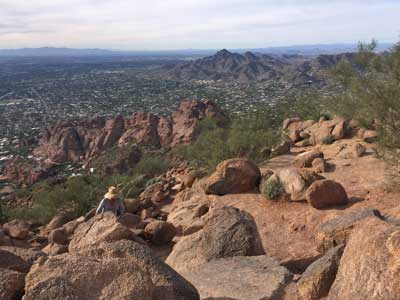
Mountain in the Scottsdale suburb is among the most scenic hiking spots in the city,with its summit offering spectacular views of Phoenix and Scottsdale and can be reached from two popular trails
General Information
Closed from 11:00am to 5:00pm on days with excessive heat warnings
Free public access at both Echo Canyon and Cholla Trailheads
Scottsdale, AZ (5 mi)
Paradise Valley, AZ (2 mi)
Avoid hiking during summer due to extreme heat
How to Get There
From Phoenix to Echo Canyon Trailhead (14mi) Get on I-10 E. Continue on I-10 E. Take AZ-51 N to E Glendale Ave. Take exit 5 from AZ-51 N. Take E Lincoln Dr to N Echo Canyon Cir.
From Phoenix to Cholla Trailhead (14mi) Take I-10 E. Use the 3rd from the right lane to take exit 147A-147B for AZ-51 N. Continue onto AZ-51 N. Take exit 3 for Indian School Rd. Turn right onto E Indian School Rd. Turn left onto N 32nd St. Turn right onto E Camelback Rd.
Overview
Camelback Mountain is the best-known landmark in the Phoenix area, a camel-shaped peak between the Arcadia neighborhood and the town of Paradise Valley, and one of the city’s most popular and demanding hikes. Its summit rises about 1,280 feet above the trailheads, and the peak gives its name to Camelback Road. It is designated a Phoenix Point of Pride, and a cave on its north side suggests it was a sacred site for the Hohokam before they left in the 14th century.
Hiking
- Echo Canyon Trail: 1.14 miles, strenuous, with steep grades, boulders and handrail-assisted sections.
- Cholla Trail: 1.4 miles, also strenuous.
- Plan on 1.5 to 3 hours round trip.
The peak is a geologic unconformity: the higher part is 1.5-billion-year-old Precambrian granite, while the “head” of the camel is red sandstone about 25 million years old.
This article uses material from the Wikipedia article "Camelback Mountain", which is released under the Creative Commons Attribution-Share-Alike License 3.0
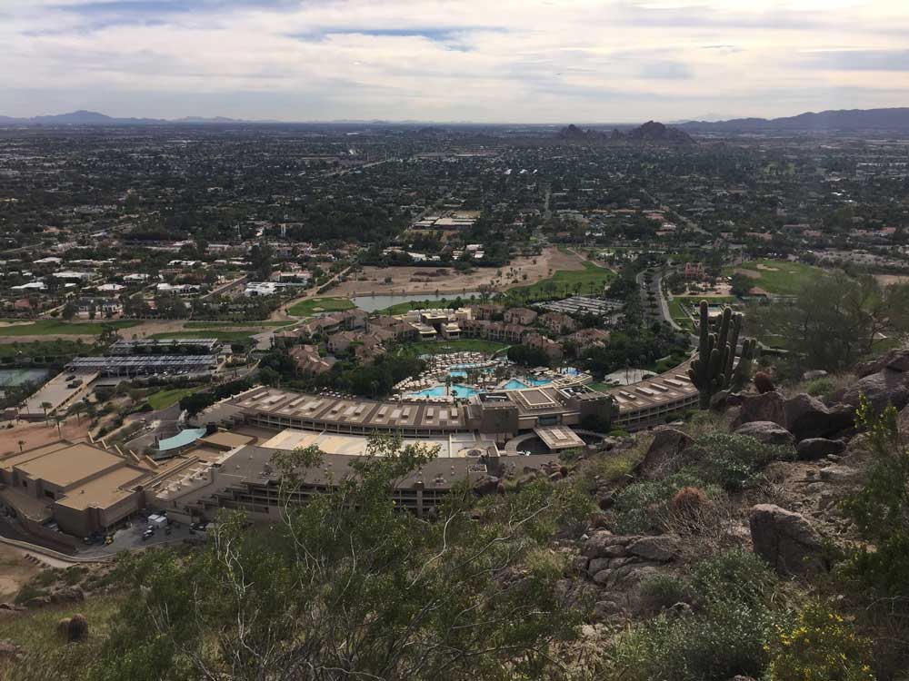
View of Resort at Mountain Base
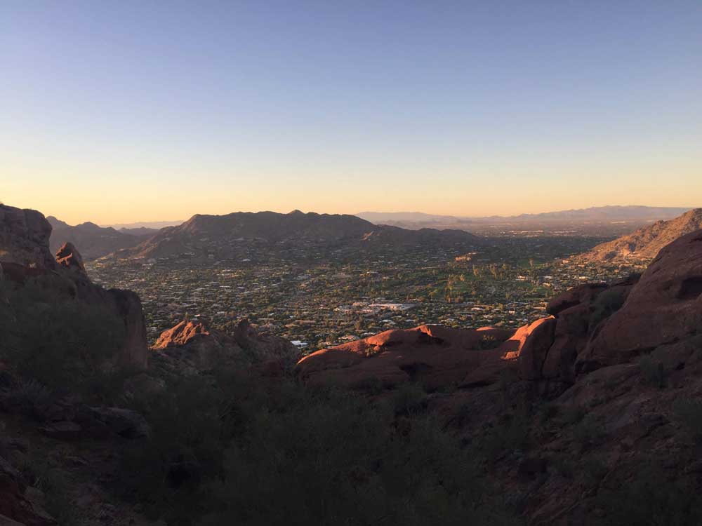
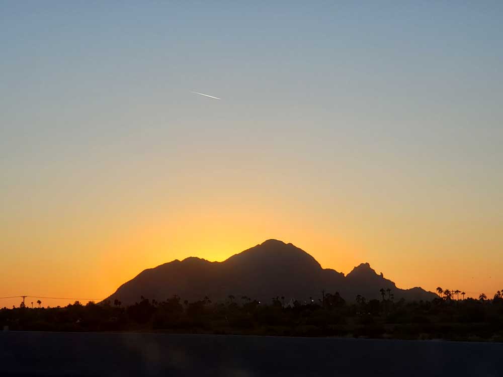
Mountain at Sunset
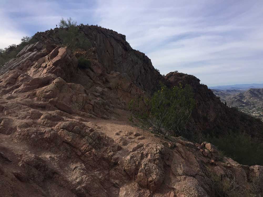
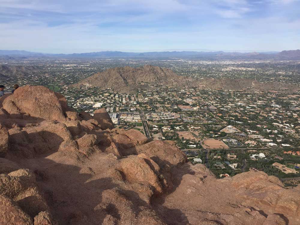
Alternate Summit View