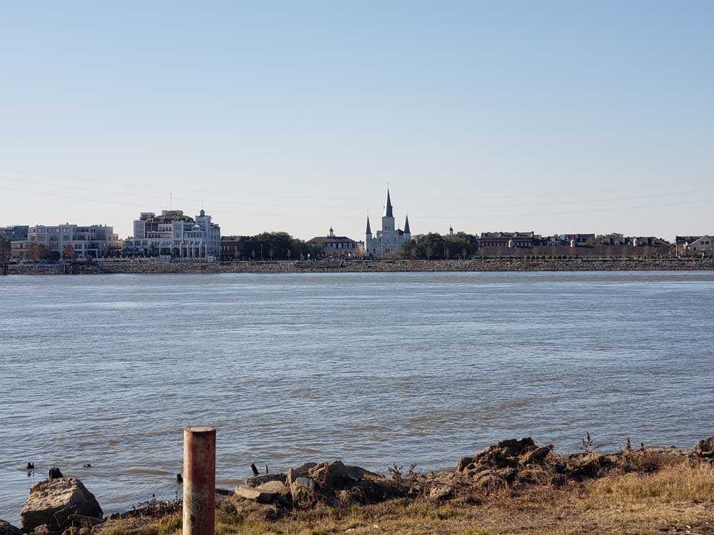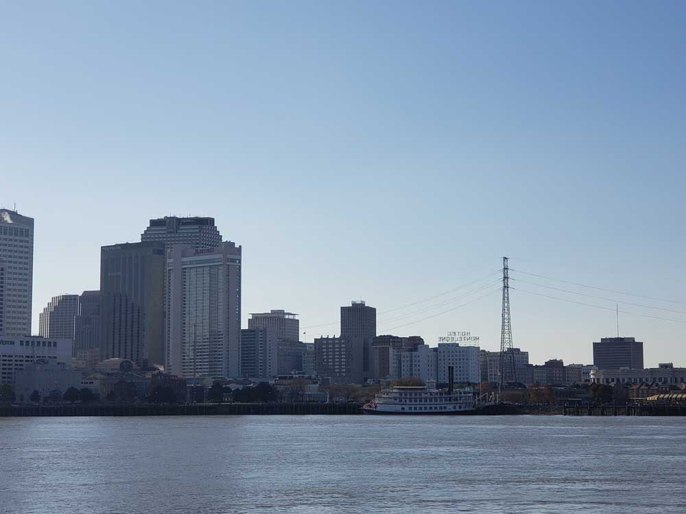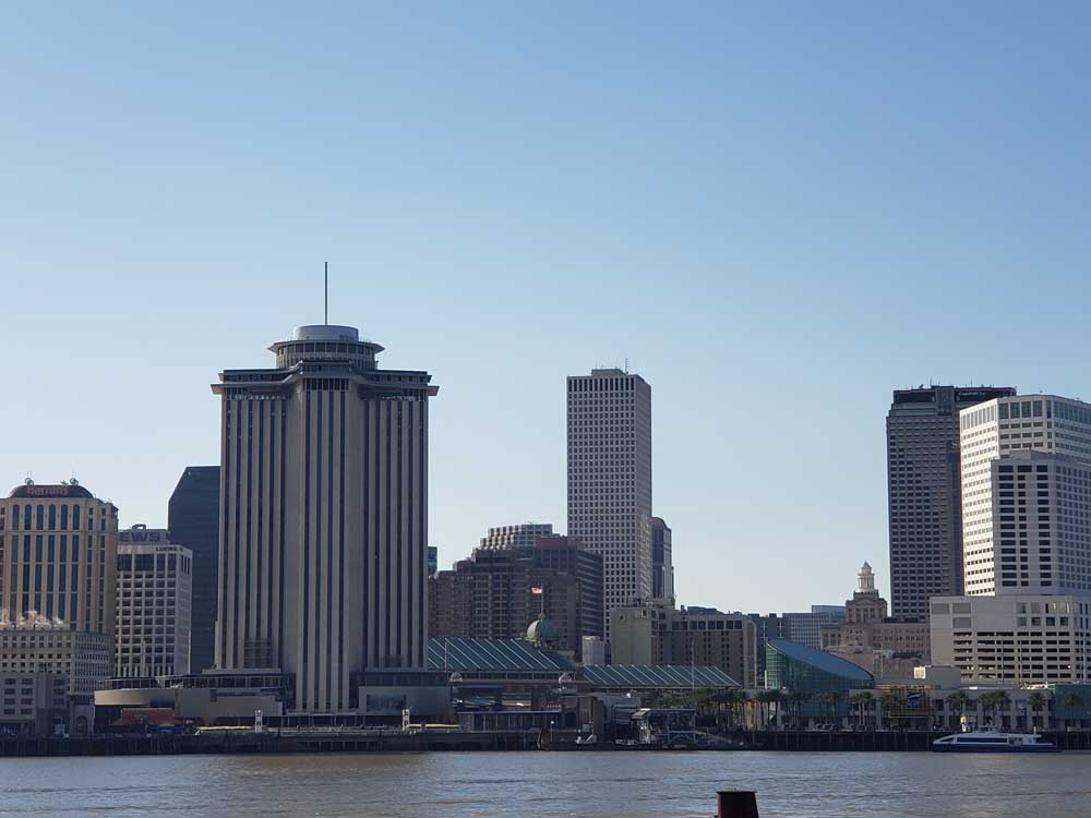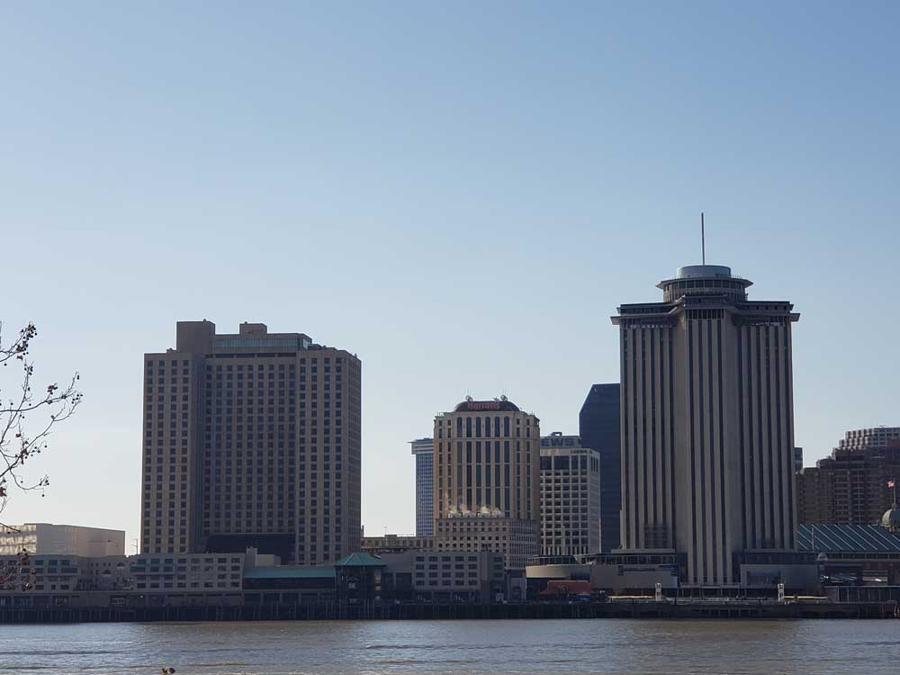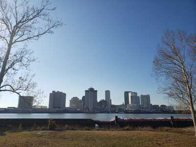
Location on the Lower Mississippi River in New Orleans emphasizing historic and aesthetic aspects of the neighborhood's houses and other assets
General Information
How to Get There
Get on US-90 BUS W from Baronne St. Continue on US-90 BUS W. Take L B Landry Ave to Whitney Ave.Continue on Whitney Ave. Take Patterson Rd to Morgan St
Overview
Algiers Point is a location on the Lower Mississippi River in New Orleans. In river pilotage, Algiers Point is simply one of the many points of land around which the river flows—albeit a significant one. Since the 1970s, the name Algiers Point has also referred to the neighborhood in the immediate vicinity of that point. The course of the Mississippi River past and through New Orleans is in the shape of a crescent. As the river reaches the downriver end of that crescent, flowing by then in a northerly direction, it makes a sharp "right-hand" turn to the east. The French Quarter, Faubourg Marigny and Bywater lie on the outside of the bend on the river's left descending bank. The point of land on the river's right descending bank is, and has historically been, called Algiers Point.
The neighborhood near the point described above came to be called Algiers Point beginning in the 1970s. At that time a community movement began to emphasize the historic and aesthetic aspects of the neighborhood's houses and other assets, as contrasted to other sections of Algiers, especially newer, post-World War II residential areas. Some of the houses and other structures in Algiers Point predate the American Civil War, but most were built in the period immediately after a catastrophic 1895 fire which destroyed hundreds of structures in the area.
This article uses material from the Wikipedia article "Algiers Point" which is released under the Creative Commons Attribution-Share-Alike License 3.0