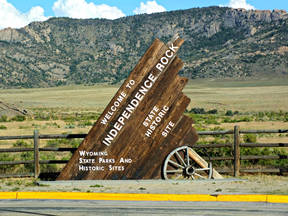

Massive granite outcrop featuring emigrant inscriptions, interpretive trails, and panoramic views of the surrounding plains.
General Information
Rest area facilities include restrooms, picnic areas, and interpretive signage
How to Get There
From Casper, WY (55 mi): Take WY-220 W for approximately 55 miles southwest until you reach the Independence Rock Rest Area on the south side of the highway.
Overview
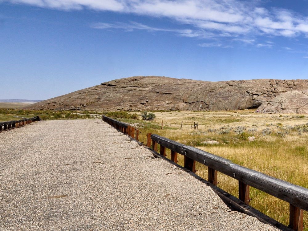
Independence Rock is a 136-foot-high, 1,900-foot-long granite dome, one of the best-known landmarks of the Oregon, California, and Mormon trails. Fur trappers named it after camping there on July 4, 1824, and emigrants tried to reach it by Independence Day. Thousands carved or painted their names on it, and you can walk around and climb the rock and see inscriptions. An interpretive site is at the base.
Things to Do
Visit One of the Most Famous Landmarks on the Oregon Trail
Independence Rock State Historic Site is one of the most recognizable landmarks of the Oregon, California, Mormon, and Pony Express trails. This massive granite outcrop served as an important waypoint for thousands of emigrants traveling west during the nineteenth century and is often referred to as the "Register of the Desert."
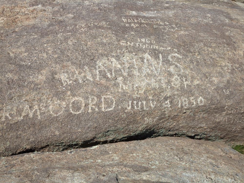
See Historic Pioneer Inscriptions
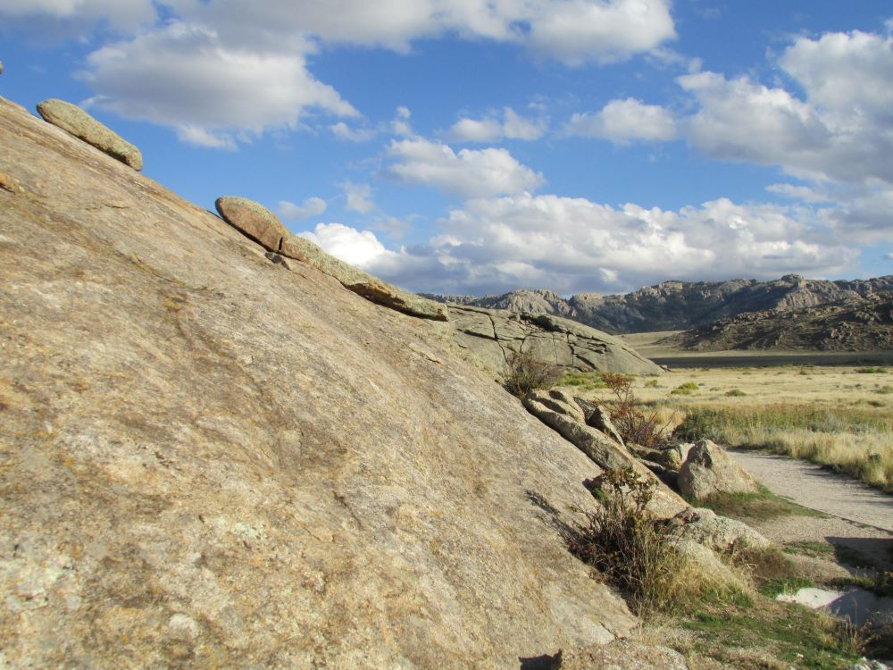
Thousands of emigrants carved their names, initials, and dates into the granite surface as they passed through Wyoming on their journey west. Many of these historic inscriptions remain visible today, providing a remarkable connection to the era of westward expansion.
Walk Around the Base of the Rock
A footpath circles the base of Independence Rock, allowing visitors to view pioneer inscriptions, interpretive displays, and the immense granite formation from multiple perspectives. The trail provides an excellent introduction to the site's historical significance.
Climb Independence Rock
Visitors may hike to the top of the granite formation for elevated views of the Sweetwater River Valley and surrounding Wyoming landscape. The summit offers a unique perspective of the terrain that emigrants crossed on their westward journeys.
Explore Oregon Trail History
Interpretive exhibits throughout the site explain the role Independence Rock played as a timing marker for wagon trains. Reaching the rock by early July often meant emigrants were on schedule to cross the Rocky Mountains before winter snows arrived.
View Wagon Trail Remnants
Visitors can see remnants of the historic emigrant trails, including visible wagon ruts and trail features that help illustrate the challenges faced by pioneers traveling across the American frontier.
Top Trails
Independence Rock Base Trail
Length: Approximately 1.3 miles loop
Elevation Gain: Minimal
Difficulty: Easy
This popular trail circles the base of Independence Rock, passing historic inscriptions, interpretive exhibits, wagon trail remnants, and sweeping views of the surrounding landscape. It is suitable for visitors of all ages.
Independence Rock Summit Route
Length: Varies
Elevation Gain: Moderate
Difficulty: Moderate
Visitors can climb the granite outcrop to explore additional historic inscriptions and enjoy panoramic views of the Sweetwater River corridor and historic emigrant trail routes.
Interpretive Footpath
Length: Included within the base trail
Elevation Gain: Minimal
Difficulty: Easy
Interpretive exhibits along the path explain the history of the Oregon Trail, California Trail, Mormon Pioneer Trail, Pony Express, and the significance of Independence Rock as a landmark for westward travelers.
Historic Wagon Ruts Viewing Area
Length: Short walk from the parking area
Elevation Gain: Minimal
Difficulty: Easy
Visitors can view preserved wagon ruts and trail remnants that provide evidence of the thousands of wagons that once passed through the area during the peak years of western migration.
This article uses material from the Wikipedia article and official pages for Independence Rock State Historic Site - National Park Service, Independence Rock State Historic Site - Visit Casper, Independence Rock State Historic Site - Wyoming State Parks, Independence Rock State Historic Site, released under the Creative Commons Attribution-Share-Alike License 3.0.
.jpg)

.jpg)