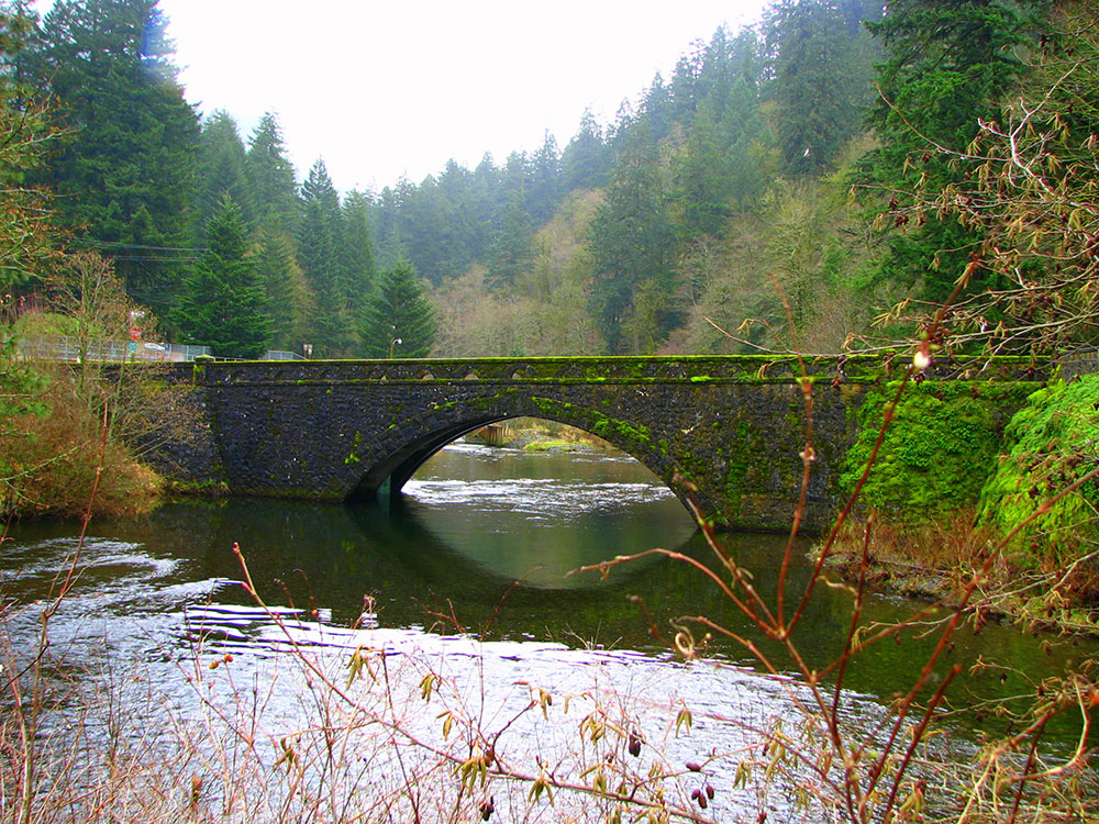
Creek flowing for approximately 15 miles from the Thrush Pond between Eagle Butte and Tanner Butte to its mouth near Bonneville Dam and is notable for its numerous waterfalls
General Information
Length:
Varies by trail section
Elevation Gain:
Approximately 900–4,800 ft depending on destination
Difficulty:
Easy to moderate
Hours:
Open daily from sunrise to sunset
Fees:
Timed-use permit may be required during peak season
Northwest Forest Pass required for some trailhead parking areas
Northwest Forest Pass required for some trailhead parking areas
Pet Policy:
Pets are allowed on trails and campground areas
Closest cities with hotels:
Cascade Locks (3 mi)
Seasons:
Spring through fall for waterfalls and hiking, though portions may close seasonally
Location:
Website:
How to Get There
From Cascade Locks (3 mi): Take I-84 west to Exit 41 and follow Forest Lane to the Eagle Creek recreation area and trailhead parking lot.
Overview
Eagle Creek is one of the most popular hiking corridors in the Columbia River Gorge, with a series of waterfalls along the Eagle Creek Trail #440, which starts at the Eagle Creek Trailhead off I-84 Exit 41 and follows the creek 13.1 miles. Check current trail status, as the 2017 Eagle Creek Fire damaged the area.
Waterfalls (from the mouth upstream)
- Metlako Falls: an 82-foot punchbowl falls, named for the Native goddess of salmon
- Punch Bowl Falls: a 33-foot falls into a bowl, one of the most-visited spots; the lower falls is about 12 feet
- Skoonichuk, Grand Union, and Loowit falls: tributary and creek falls farther along
- Tunnel Falls: a 130-foot plunge on the East Fork, with the trail passing behind it
- Twister Falls: a 140-foot series of cascades
- Sevenmile Falls: a 40-foot fall over columnar basalt
Top Trail
| Trail | Length | Difficulty | Highlights |
|---|---|---|---|
| Eagle Creek Trail #440 | 13.1 miles one way (Punch Bowl Falls is 4.2 miles round trip) | Easy to strenuous | Cliff-side trail with cable handrails; Metlako and Punch Bowl falls |
This article uses material from the Wikipedia articles "Eagle Creek (Multnomah County, Oregon)", "Eagle Creek waterfalls", which are released under the Creative Commons Attribution-Share-Alike License 3.0