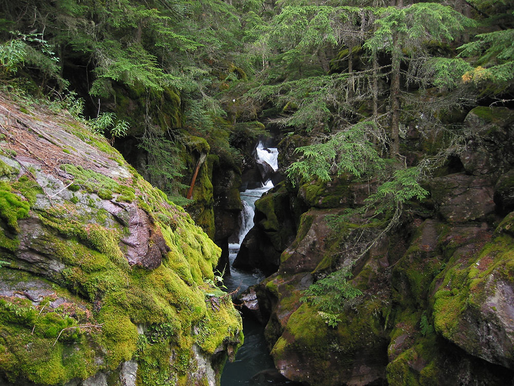
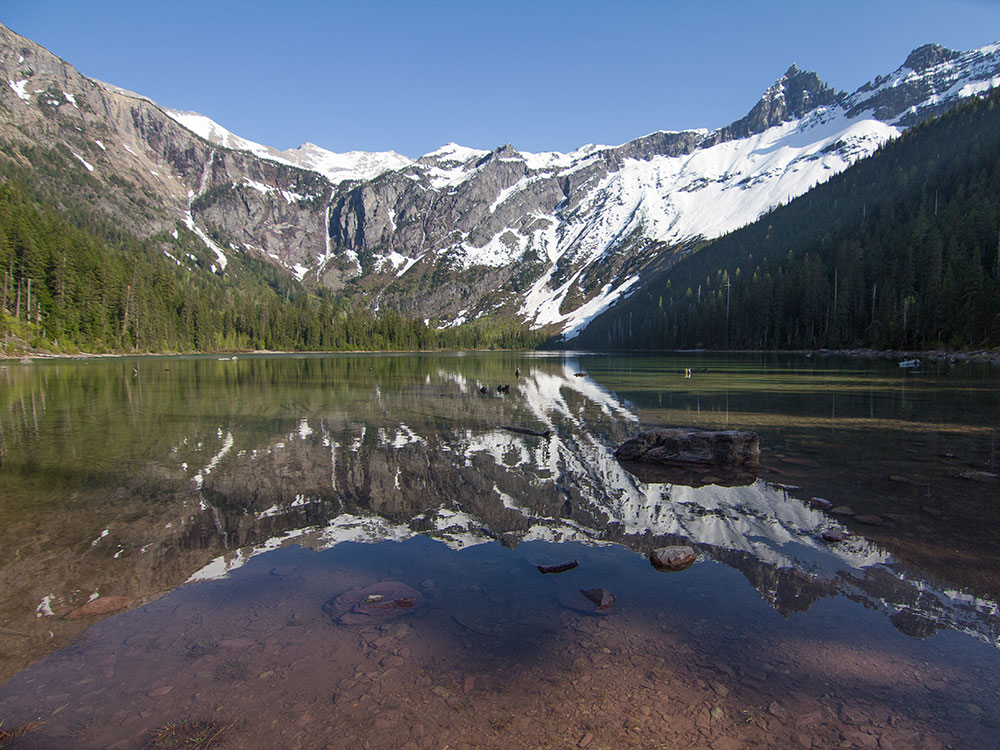
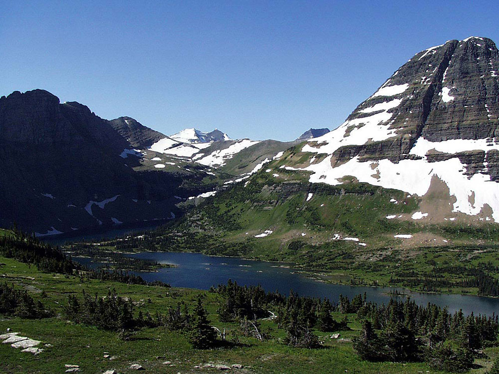
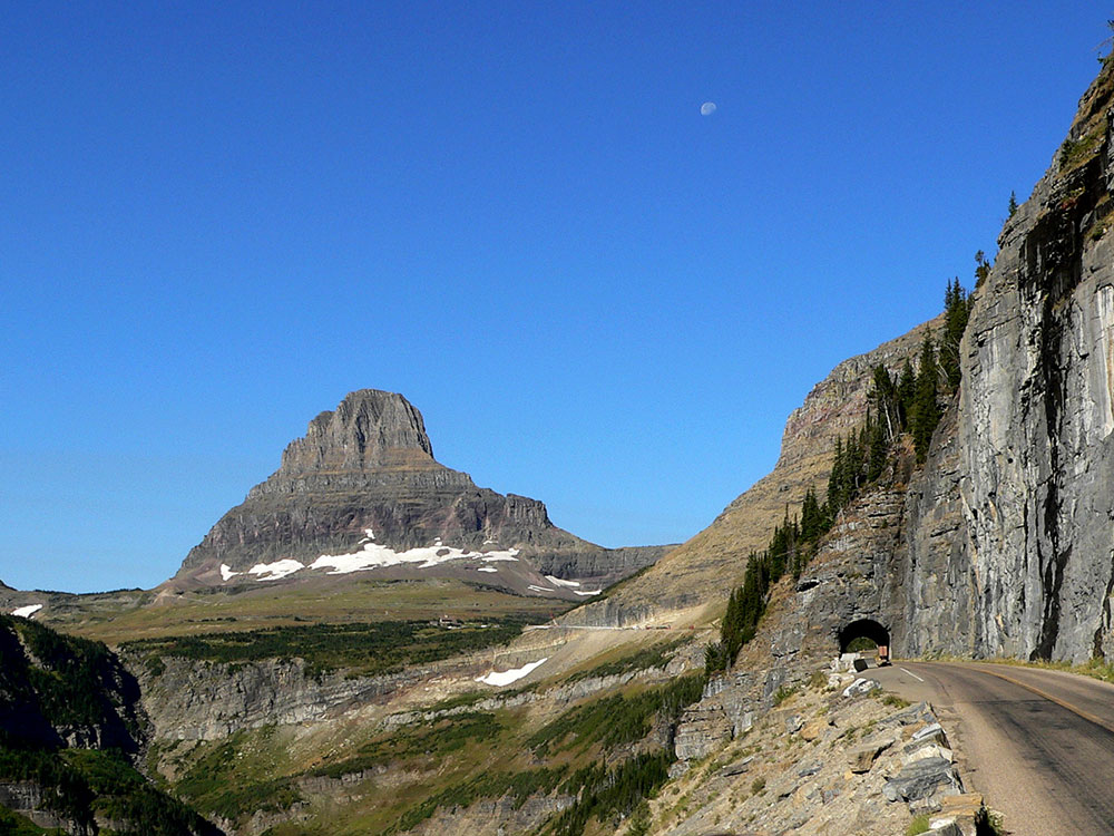
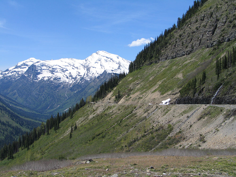
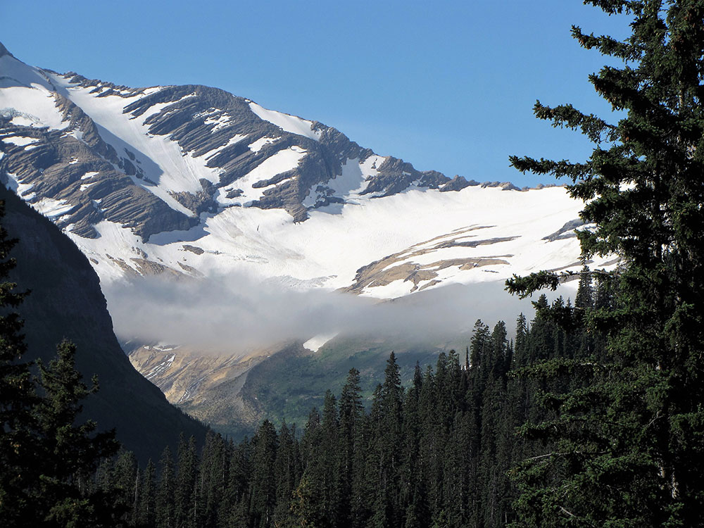
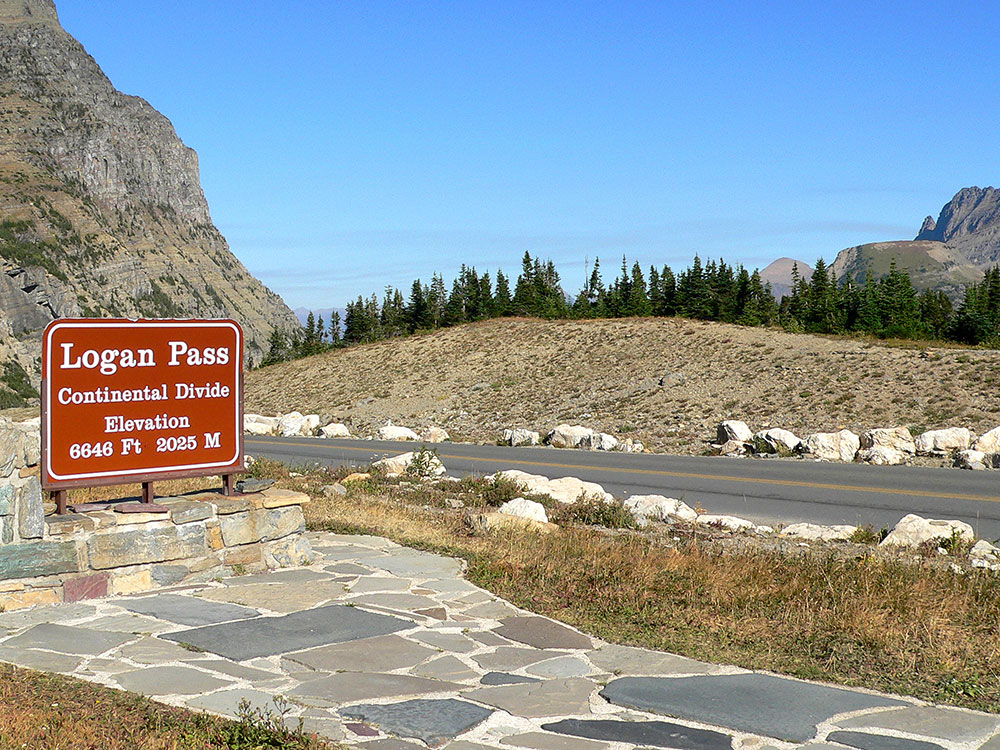
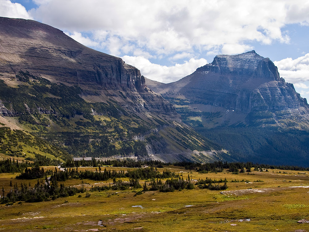
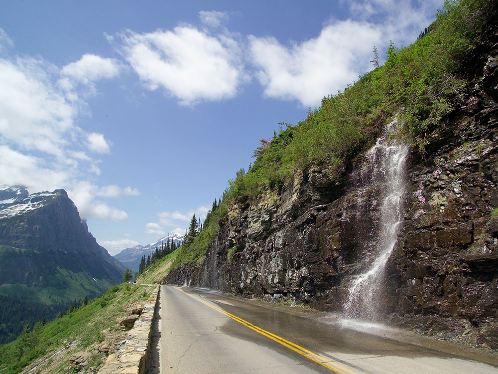
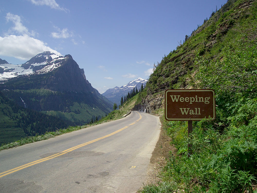
Scenic mountain road is the only road that traverses the park, crossing the Continental Divide through Logan Pass at an elevation of 6,646 feet
General Information
To West Entrance - From Missoula (138 miles): Continue to I-90 W. Take US-93 N to Montana Hwy 35 W/S Shore Rd in Lake County. Continue on Montana Hwy 35 W to Flathead County. Turn right onto U.S. Rte 2. Turn left onto Glacier Rte 1 Rd/Going-to-the-Sun Rd.
Overview
Going-to-the-Sun Road is Glacier National Park's iconic 50-mile mountain road over the Continental Divide at Logan Pass, and the only road that crosses the park. It was conceived by superintendent George Goodwin in 1917, built from 1921 to 1932, and is one of the first Park Service projects made for motorists. It is named for Going-to-the-Sun Mountain, and a Blackfeet legend says the spirit Sour Spirit left his image there.
Good to Know
- Season: the road takes about ten weeks to plow, with up to 80 feet of snow at Logan Pass, so full opening is usually late June to mid October
- Vehicle limits: vehicles are limited to 21 feet long and 8 feet wide between Avalanche Creek and Rising Sun
- Getting around: a free shuttle runs the corridor, and timed-entry reservations may be needed in peak season
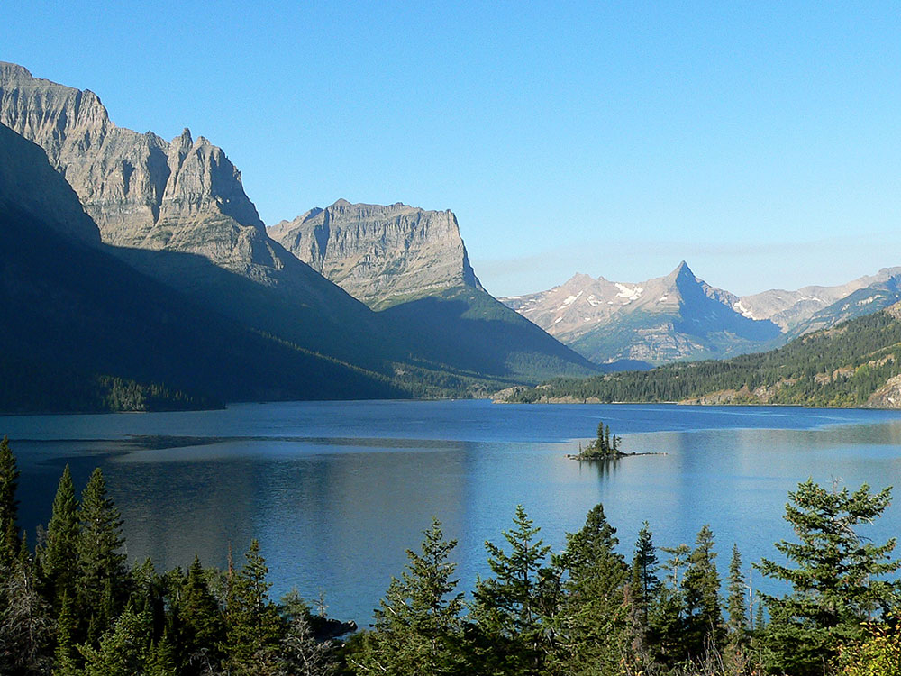
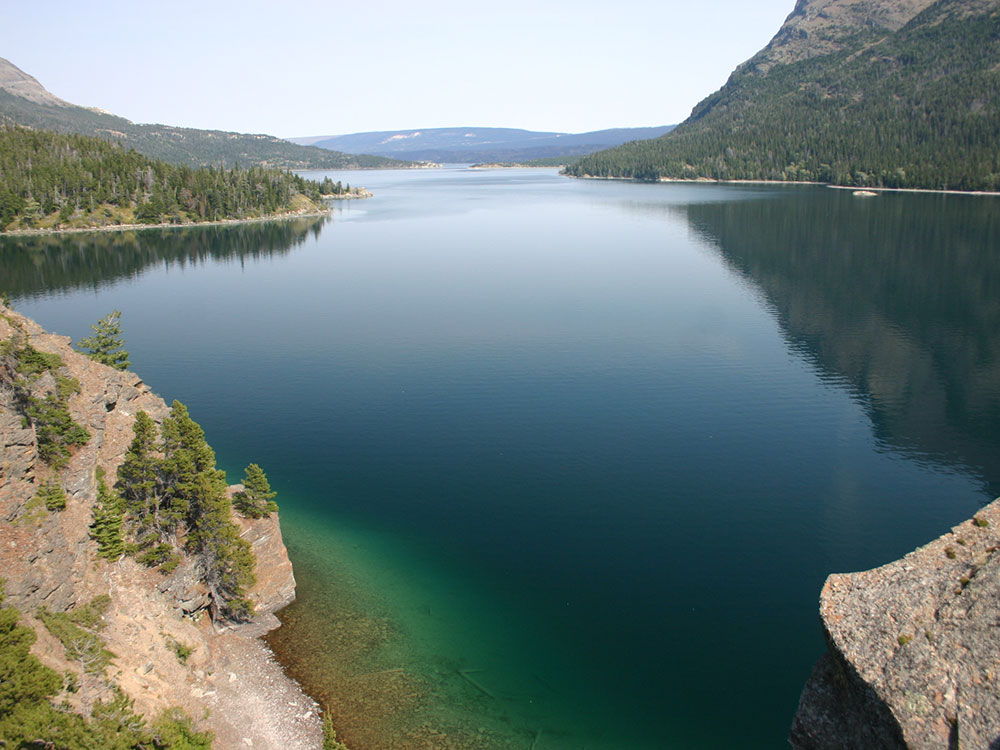
- Stops: Lake McDonald, Logan Pass, and St. Mary Lake
This article uses material from the Wikipedia articles "Going-to-the-Sun Road", which are released under the Creative Commons Attribution-Share-Alike License 3.0
Featured Locations and Trails
Jeff P from Berkeley, CA, USA, CC BY 2.0, via Wikimedia Commons; Image Size Adjusted

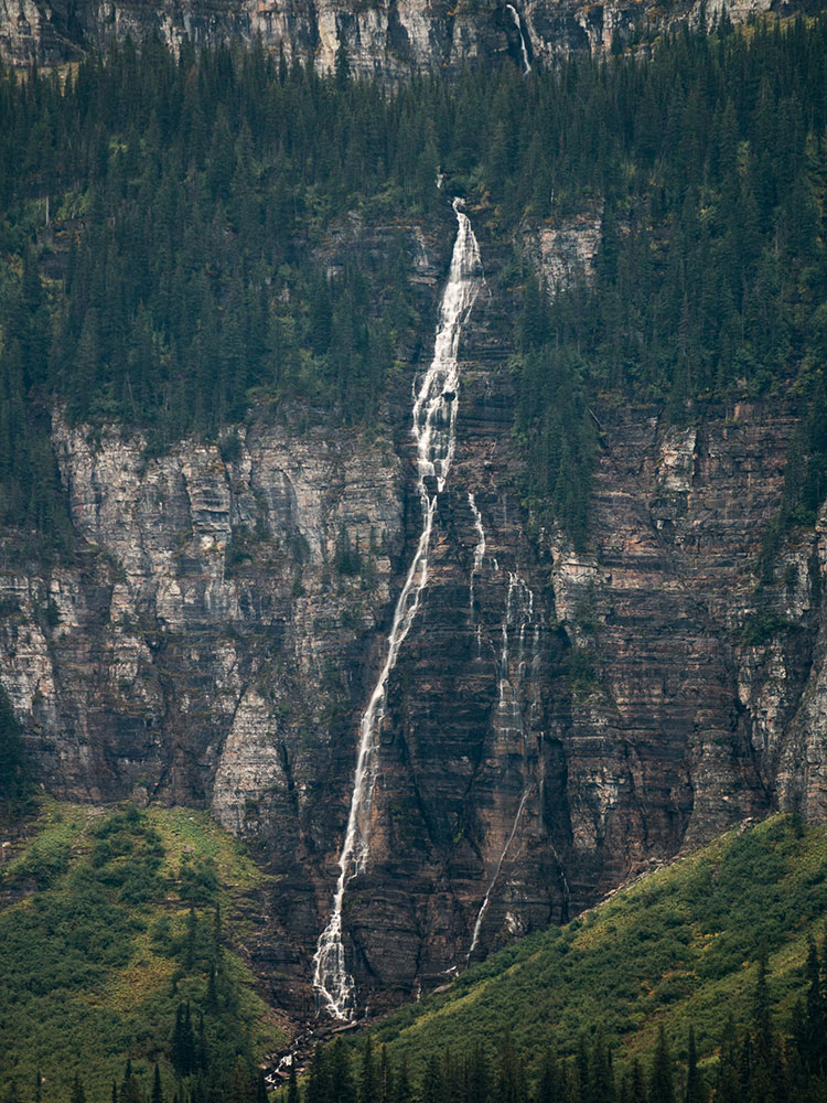
Bird Woman Falls
Towering seasonal waterfall plunging from a hanging valley and creating one of the most dramatic natural spectacles visible along the Going-to-the-Sun Road.