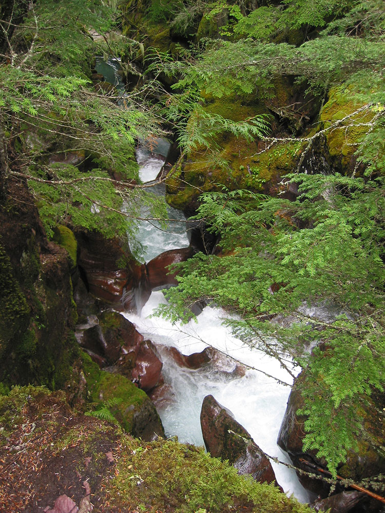
Popular alpine lake destination in Glacier National Park, surrounded by steep mountains and cascading waterfalls, reached through old-growth cedar and hemlock forests.
General Information
Length:
4.6 miles round trip (2.3 miles one way)
Elevation Gain:
741 feet
Difficulty:
Moderate
Hours:
Accessible year-round during park operating hours and trail conditions permitting
Fees:
Glacier National Park entrance fee required
Pet Policy:
Pets are not allowed on park trails
Closest cities with hotels:
West Glacier, MT (16 mi)
Seasons:
Late spring through early fall; summer offers the most reliable trail access
Location:
https://www.google.com/maps/search/?api=1&query=Avalanche+Picnic+Area+Glacier+National+Park+MT">Avalanche Picnic Area, Glacier National Park, MT
Website:
https://www.nps.gov/places/avalanche-lake-trail.htm
How to Get There
From West Entrance (16.2 miles): Head northwest on Glacier Rte 1 Rd/Going-to-the-Sun Rd toward Grinnell Dr. Turn right to stay on Glacier Rte 1 Rd/Going-to-the-Sun Rd to Trail of the Cedars Nature Trailhead.
Overview
Avalanche Lake is a glacial lake southwest of Bearhat Mountain that receives meltwater from Sperry Glacier, and a top family hike from the Trail of the Cedars, with several waterfalls streaming down the cliffs above the lake.
Top Trail
| Trail | Length | Elevation Gain | Highlights |
|---|---|---|---|
| Avalanche Lake Trail | About 4.5 miles round trip (2 miles one way) | About 500 feet | Trail of the Cedars, Avalanche Gorge, and the lake |
This article uses material from the Wikipedia article "Avalanche Lake", which is released under the Creative Commons Attribution-Share-Alike License 3.0