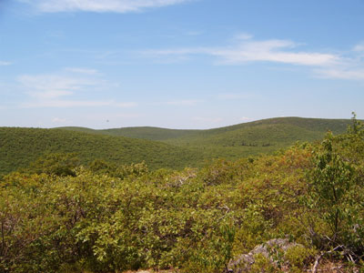

Forested Taconic Mountain summit with intersecting hiking trails that reach the highest elevation in one U.S. state and pass a historic tri‑state boundary marker.
General Information
How to Get There
From Great Barrington, MA (18 mi): Take MA‑41 south, turn right onto MA‑23, continue west to Mount Washington Road, follow the gravel road to the AMC trailhead near the state line, and begin hiking from the signed trail access.
Overview
Mount Frissell (2,454 feet) in the Taconic Range straddles the Massachusetts and Connecticut border. The peak is in Massachusetts, but its southern slope, at 2,379 feet, is the highest point in Connecticut. It is in Mount Washington State Forest (Massachusetts) and Riga Mountain Forest (Connecticut). The Mount Frissell Trail connects to the South Taconic Trail and the Appalachian Trail.
This article uses material from the Wikipedia article "Mount Frissell", which is released under the Creative Commons Attribution-Share-Alike License 3.0


