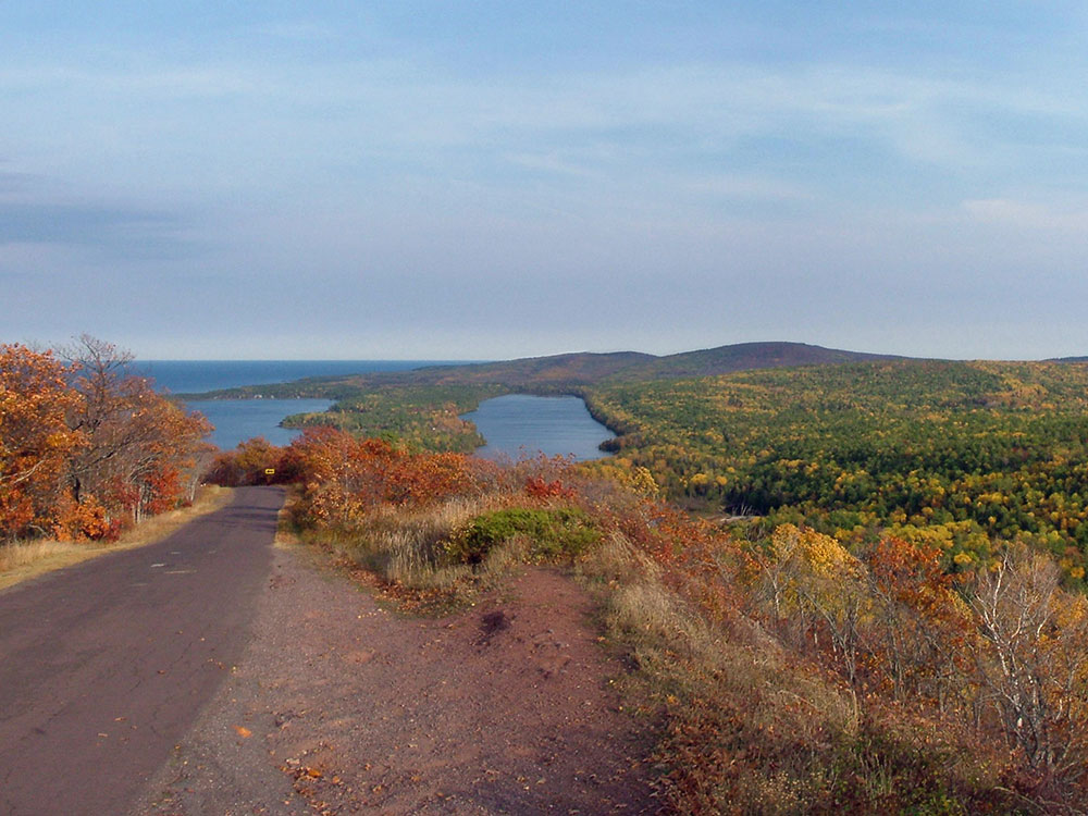

8.8-mile-long scenic roadway in the Upper Peninsula of Michigan with everal viewpoints along the route allow for panoramas of Copper Harbor, Lake Superior, and undeveloped woodland
General Information
Road conditions may vary seasonally due to weather
No entrance fee required
How to Get There
From Copper Harbor, MI: Follow US-41 or M-26 to the southern entrance of Brockway Mountain Drive and travel the scenic 9-mile route to multiple overlooks offering panoramic views of Lake Superior, Copper Harbor, inland lakes, and the Keweenaw Peninsula.
Overview
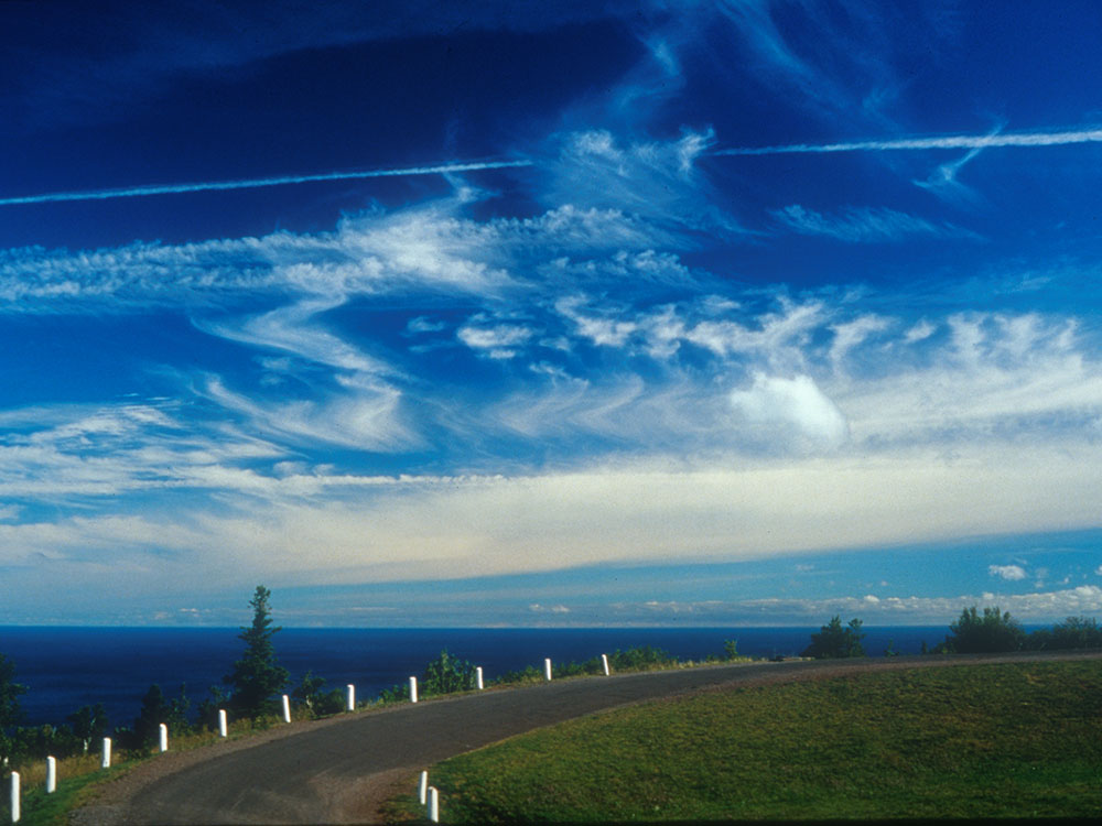
Brockway Mountain Drive is an 8.8-mile-long (14.2 km) scenic roadway just west of Copper Harbor in the Upper Peninsula of Michigan. Drivers can access the road from State Highway M-26 on either end near Eagle Harbor to the west or Copper Harbor to the east in the Keweenaw Peninsula. The drive runs along the ridge of Brockway Mountain on the Keweenaw Fault and climbs to 1,320 feet (402 m) above sea level, 720 feet (219 m) above the surface of Lake Superior. Several viewpoints along the route allow for panoramas of Copper Harbor, Lake Superior, and undeveloped woodland. On a clear day, Isle Royale is visible approximately 50 miles (80 km) in distance from the top of the mountain.
Brockway Mountain was named for Daniel D. Brockway, one of the pioneer residents of the area. The road was constructed by the county road commission with funding through Depression-era work programs in 1933. It was briefly used as a connection for the parallel state highway after it opened. Since it opened, Brockway Mountain Drive has been recognized nationally for its picturesque qualities.
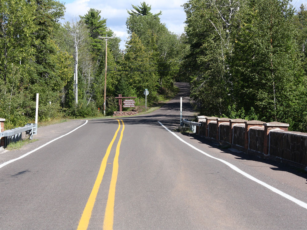
The road can be accessed from either Eagle Harbor or Copper Harbor and serves as a scenic loop off M-26. The western end starts at M-26 near Lake Bailey and Agate Harbor. Brockway Mountain Drive ascends along the ridgeline of the Keweenaw Fault. Immediately south of the road, Upson Creek runs parallel to the cliff face as it drains Lake Upson. Two and a half miles (4.0 km) from the western end, there is a parking area for the Oren Krumm Trail, part of the Brockway Mountain Audubon Sanctuary. The drive is lined with low stone walls, built as part of the original construction of the roadway.
Upon reaching the top of the mountain, drivers are greeted with a full panoramic view of the surrounding area, allowing views of Lake Superior, Copper Harbor, Eagle Harbor and the surrounding lakes and forests.
Continuing eastward, the drive descends down the mountain toward Copper Harbor. The roadway twists and turns as it alternately climbs and descends several smaller hills along the ridgeline. Along the drive, several viewpoints provide the opportunity to pull off and take in the surroundings. A few of them lie directly adjacent to the face of the bluff where the mountain quickly rises from the surrounding land. Near the eastern end, there are two sharp hairpin turns, the first of which has a scenic overlook and parking area. This spot overlooks Copper Harbor and the nearby Copper Country Trail National Scenic Byway portion of US Highway 41 (US 41) just to the east. From here, the road makes its steep descent down from the ridge, through the second turn and ends at M-26 on the western edge of town.
This road is one of the highest scenic roadways above sea level in the US between the Rocky and Allegheny mountains. During the winter, Brockway Mountain Drive is closed to cars as the Keweenaw County Road Commission does not plow the road; instead the drive is used as a snowmobile trail.
This article uses material from the Wikipedia article "Brockway Mountain Drive", which is released under the Creative Commons Attribution-Share-Alike License 3.0