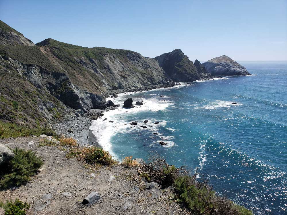
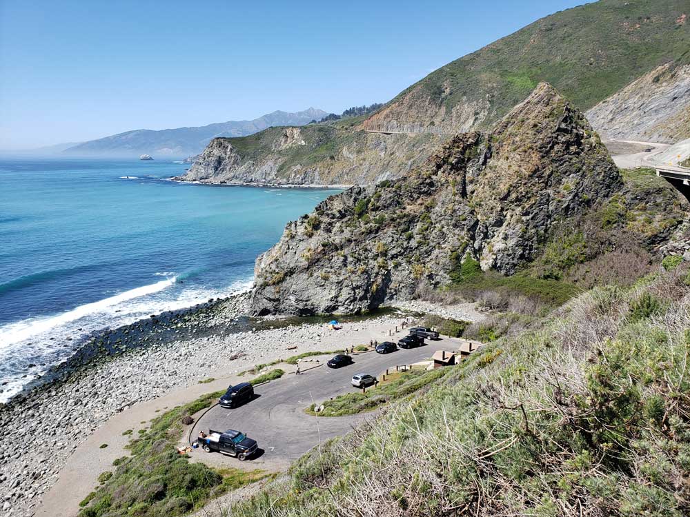
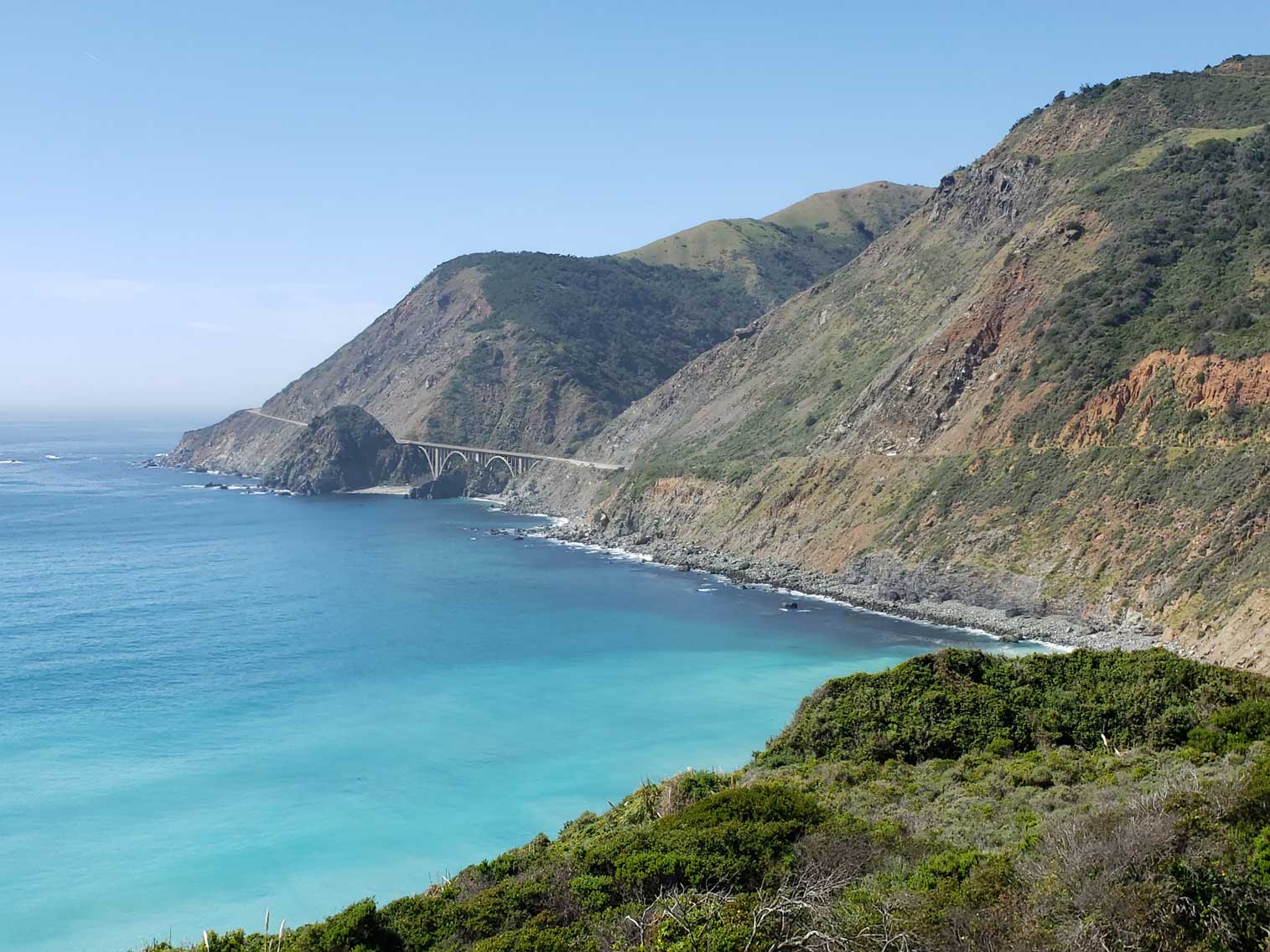
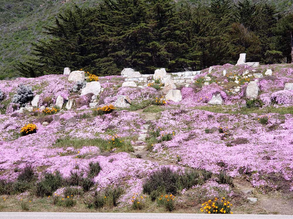
Rugged and mountainous section of the Central Coast of California between Carmel Highlands and San Simeon, where the Santa Lucia Mountains rise abruptly from the Pacific Ocean and is frequently praised for its dramatic scenery
South: San Simeon
How to Get There
From San Simeon (65 mi): Head east on Slo San Simeon Rd toward CA-1 N. Turn left onto CA-1 N.
From San Francisco (146 mi): Get on US-101 S. Follow US-101 S to CA-156 W in Prunedale. Take exit 336 from US-101 S. Drive to CA-1 S in Big Sur.
Overview
Big Sur is a rugged, mountainous stretch of California’s Central Coast where the Santa Lucia Mountains plunge into the Pacific, often called the longest and most scenic undeveloped coastline in the contiguous United States. The 71-mile section of Highway 1 between Carmel Highlands and San Simeon winds along towering cliffs, past redwood canyons, waterfalls, hiking trails and secluded beaches, drawing millions of visitors a year, with far fewer services than a national park such as Yosemite. There is no defined boundary, and the small roadside village of Big Sur is just one part of the larger region.
The name comes from the Spanish el país grande del sur, “the big country of the south,” and the region has long inspired writers and artists, including Henry Miller, who called it “the face of the earth as the Creator intended it to look.” English-speaking settlers formally adopted “Big Sur” for their post office in 1915.
Highlights include Bixby Creek Bridge, Pfeiffer Big Sur State Park, Julia Pfeiffer Burns State Park and McWay Falls, Garrapata State Park, Point Sur Lightstation, Pfeiffer Beach, Andrew Molera State Park and, just south, Hearst Castle in San Simeon. Landslides sometimes close the highway, so check current road conditions before you go.
This article uses material from the Wikipedia article "Big Sur", which is released under the Creative Commons Attribution-Share-Alike License 3.0
Featured Locations
Pacific Southwest Region USFWS from Sacramento, US, Public domain, via Wikimedia Commons; Image Size Adjusted
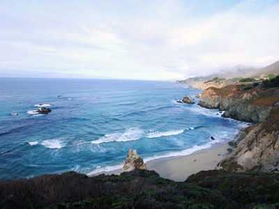
Andrew Molera State Park
Relatively undeveloped state park on the Big Sur coast situated at the mouth of the Big Sur River. Activities at the park include hiking, fishing and beachcombing, with miles of trails winding through meadows, beaches and hilltops
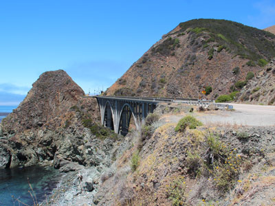
Big Creek Bridge
589-foot (180 m)-long, open spandrel, concrete deck arch bridge located on the southern portion of the Big Sur coast of California, crossing Big Creek Canyon on this scenic, mountainous coast
Diliff, CC BY-SA 3.0, via Wikimedia Commons; Image Size Adjusted
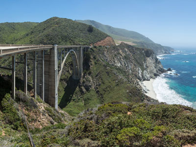
Bixby Creek Bridge
One of the most photographed bridges in California due to its aesthetic design, "graceful architecture and magnificent setting"
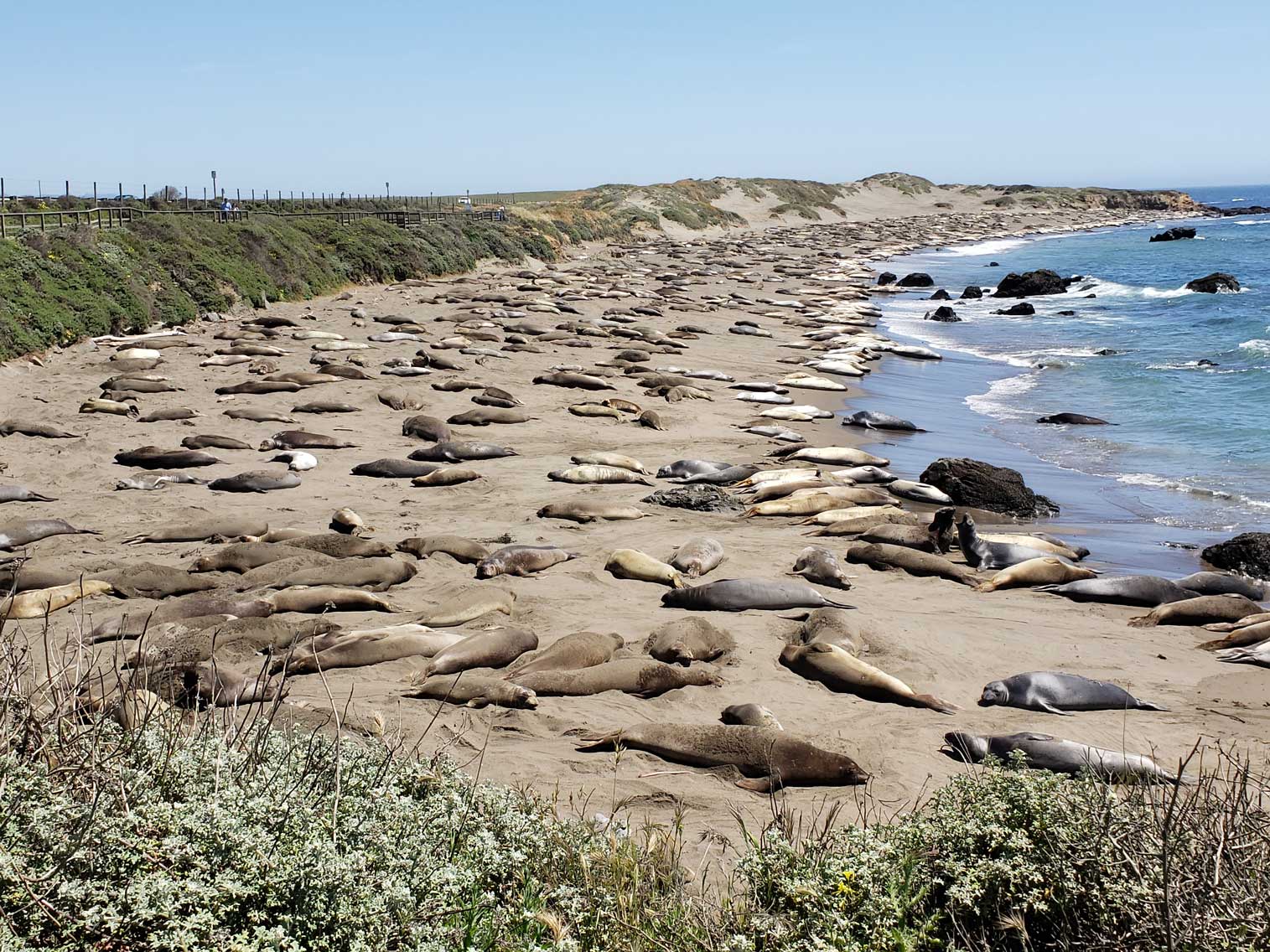
Elephant Seal Vista Point
Scenic coastal boardwalk offering year-round wildlife viewing of massive marine mammals in their natural habitat.
Kevin Stanchfield, CC BY 2.0, via Wikimedia Commons; Image Size Adjusted
Estero Bluffs State Park
Pebble-strewn shoreline bordered by a wooden boardwalk and coastal bluffs, popular for tidepooling, sunsets, and wildlife viewing.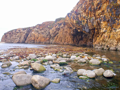
Daniel Di Palma, CC BY-SA 4.0, via Wikimedia Commons; Image Size Adjusted
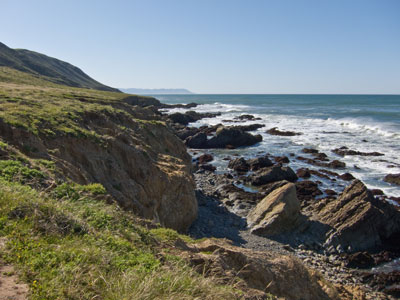
Garrapata State Park
2 miles (3.2 km) of beachfront, with coastal hiking and a 50-foot (15 m) climb to a view of the Pacific
Frank Schulenburg, CC BY-SA 3.0, via Wikimedia Commons; Image Size Adjusted
Harmony Headlands State Park
State park preserves an undeveloped parcel of Pacific coast on Highway 1, is the only public access to the coast between the towns of Cayucos and Harmony

Hearst Castle
Historic estate conceived by publishing tycoon William Randolph Hearst, built between 1919-47, and today is a museum and California State Park
Fabrice Florin from Mill Valley, USA, CC BY-SA 2.0, via Wikimedia Commons; Image Size Adjusted
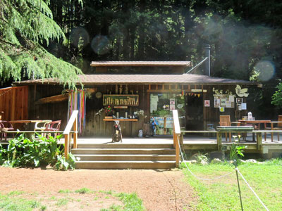
Henry Miller Memorial Library
Nonprofit arts center, bookstore, and performance venue in Big Sur, California, documenting the life of the late writer, artist, and Henry Miller
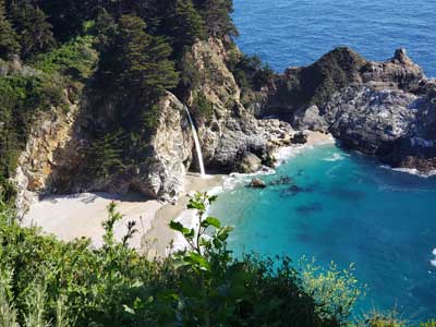
Julia Pfeiffer Burns State Park / McWay Falls
Home to 300-foot (90 m) redwoods which are over 2,500 years old. A main feature of the park is McWay Falls, which drops over a cliff of 80 feet (24 m) into the Pacific Ocean
Kevin Stanchfield, CC BY 2.0, via Wikimedia Commons; Image Size Adjusted
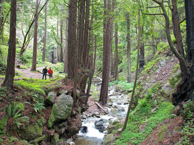
Limekiln State Park
Contains four lime kilns from an 1887-1890 lime-calcining operation, plus a beach, redwood forest, and 100-foot (30 m) Limekiln Falls
Kevin Stanchfield, CC BY 2.0, via Wikimedia Commons; Image Size Adjusted
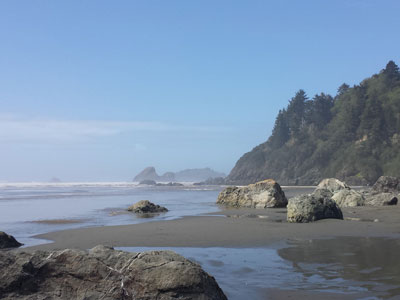
Moonstone Beach
Pebble-strewn shoreline bordered by a wooden boardwalk and coastal bluffs, popular for tidepooling, sunsets, and wildlife viewing.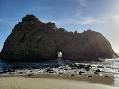
Pfeiffer Beach
One of the most popular beaches on the Central Coast and is well known for Keyhole Rock, a popular photography subject
Frank Schulenburg, CC BY-SA 3.0, via Wikimedia Commons; Image Size Adjusted
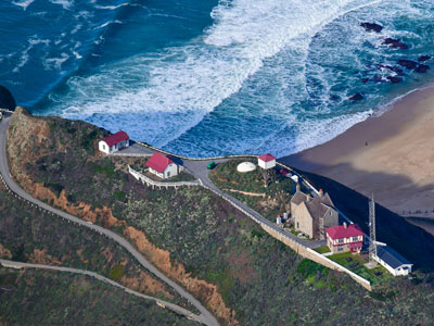
Piedras Blancas Light Station
Historic lighthouse on 19-acre site offers by guided tours, and largest elephant seal rookery on the West Coast
Diliff, CC BY-SA 3.0, via Wikimedia Commons; Image Size Adjusted
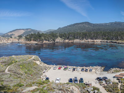
Point Lobos State Natural Reserve
Geologically unique and contains a rich and diverse plant and animal life both on shore and in the water
Letty.V.AllSmiles, CC BY-SA 4.0, via Wikimedia Commonss; Image Size Adjusted
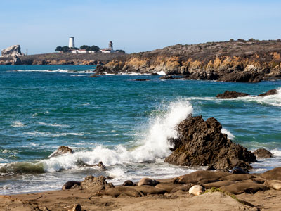
Point Sur Lighthouse
Pebble-strewn shoreline bordered by a wooden boardwalk and coastal bluffs, popular for tidepooling, sunsets, and wildlife viewing.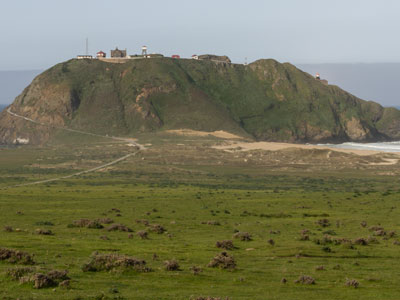
Frank Schulenburg, CC BY-SA 3.0, via Wikimedia Commons; Image Size Adjusted
Point Sur State Historic Park
Only complete, turn-of-the century lightstation open to the public in California, and is on the National Register of Historic Places
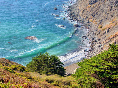
Frank Schulenburg, CC BY-SA 3.0, via Wikimedia Commons; Image Size Adjusted
Ragged Point
Headland on California's Central Coast at the southern end of Big Sur, featuring seaside cliffs, beaches, and hiking trails
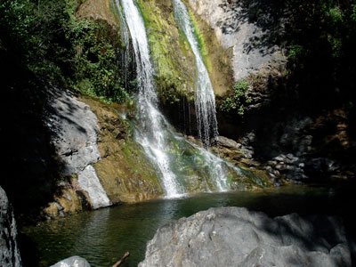
Frank Schulenburg, CC BY-SA 3.0, via Wikimedia Commons; Image Size Adjusted
Salmon Creek Falls
120-foot (36 meter) waterfall in the southern Big Sur region California
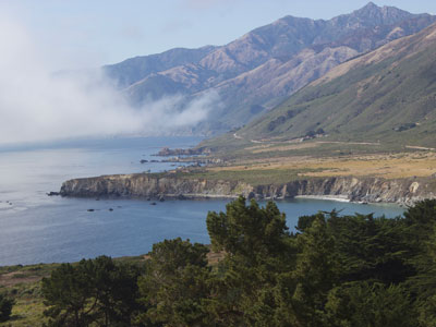
Frank Schulenburg, CC BY-SA 3.0, via Wikimedia Commons; Image Size Adjusted
Sand Dollar Beach
.5 miles long beach in Big Sur, California, one of the longest publicly accessible beaches on that coast
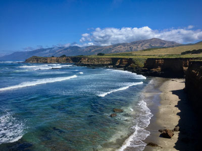
Frank Schulenburg, CC BY-SA 3.0, via Wikimedia Commons; Image Size Adjusted
William Randolph Hearst Memorial State Beach
State beach located directly below historic Hearst Castle
Peter D. Tillman from USA, CC BY-SA 2.0, via Wikimedia Commons; Image Size Adjusted
William Randolph Hearst Memorial State Beach
Pebble-strewn shoreline bordered by a wooden boardwalk and coastal bluffs, popular for tidepooling, sunsets, and wildlife viewing.